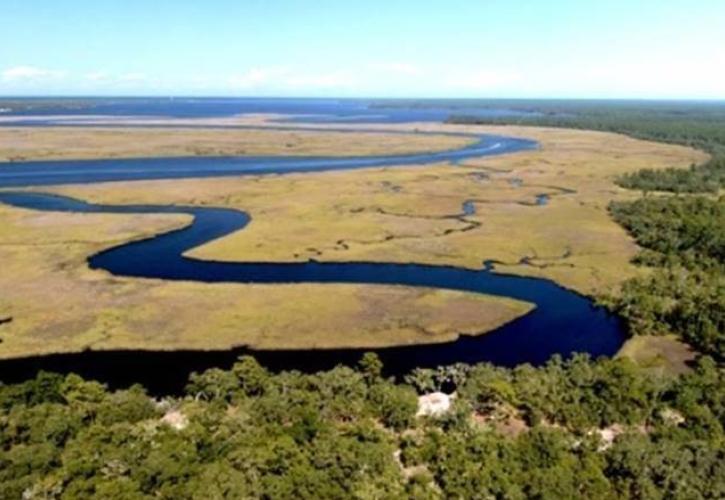
St. Teresa Tract of Bald Point State Park
Plan Your Visit
.jpg?itok=c4zMLGEe)
Experiences
Amenities
.jpg?itok=teKc9Bll)
Effective July 10, 2024: Due to a natural community restoration project, the St. Teresa Tract of Bald Point State Park is temporarily closed to visitors. Learn more.